Monuments & Museums
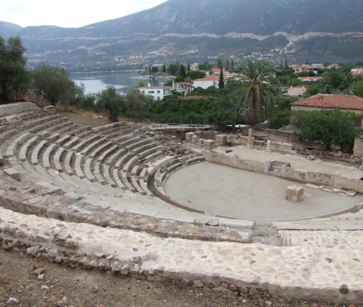
The Ancient Theatre of Palaia Epidaurus, situated on the “Nesi” headland, represents an important example of Hellenistic theatrical architecture. Built gradually from the mid-4th century BCE and later modified during the Roman period, the theatre could accommodate approximately 2,000 spectators. Its architectural features, including the limestone cavea and inscribed seats, demonstrate both its cultural significance and its close connection with the cult of Dionysos. Archaeological excavations conducted since 1970 have revealed much of the monument and contributed to its preservation and restoration. Today, the theatre remains an important cultural landmark associated with the artistic and historical heritage of ancient Epidaurus.

Ermioni (former Kastri), the most picturesque port on the eastern coast of Ermionida, extends along a cape cut into the bay of the same name, and its east and west limits are defined by archaeology that is still visible today. Ancient written sources, the visible ruins and archaeological finds help us piece together the history of the ancient city.


In Franchthi cave, on the western edge of the cape of the bay at Koilada in southeast Argolis, the most ancient remains of human activity in the area of Ermionida have been found, which date back to the Upper Palaeolithic period—about 28000 BC.The cave was periodically inhabited for about 13,000 years by small groups of itinerant hunters, who used stone tools to hunt and cut up the meat of large animals, such as wild horse and deer.
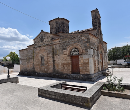
The church of Koimisi of the Theotokos [dormition of the Virgin] is one of the most important Byzantine monuments in Argolis. The church is of the complex four-column cross-in-square type with a dome. The church has all the characteristics of the important Mid-Byzantine churches in Argolis (the catholicon of the Monastery of Nafplio, Koimisi of Agia Triada, Panagia of Argos).
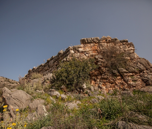
At the summit of a low rocky hill at the foot of the massif that delineates the Iria plane from the north, there is a small fort from the Hellenistic period. The fort was most likely built at the end of the 4th or the beginning of the 3rd century BC, at a time when there were constant clashes between the heirs of Alexander the Great for domination of the Peloponnese and the Aegean.
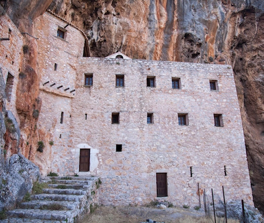
The monastery was built in the steep Rado Gorge. It is a three-storey monastery complex, consisting of cells and other areas adjacent to the catholicon [monastery church], and are shaped to fit into the hollows of the steep natural rock that dominates the valley.
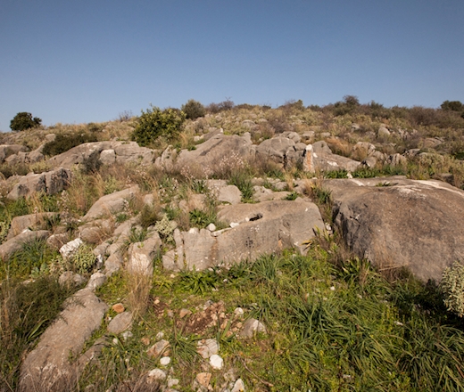
To the east of the church of Agios Nikolaos, to the left of the road that climbs from the Iria plateau towards Epidaurus, the remains of an ancient quarry have survived.
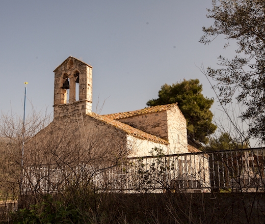
The church of Agios Nikolaos has survived in the north part of Irion, close to the remains of a fort.
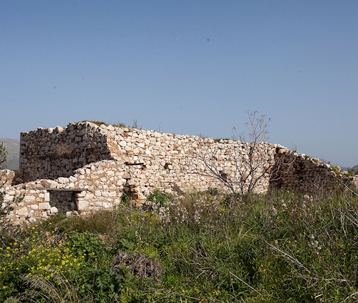
The residential tower in the village of Panagia is rectangular. A large part of the superstructure has collapsed, and, therefore, we cannot be sure of the number of floors that it had.
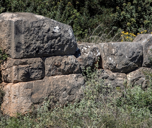
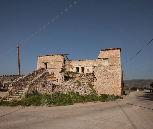
The ‘tower’ of Candia, sold under the edict, was a stately fortified Turkish house. The fact that the architectural design of this fortified residence matches one in the village of Pyrgos in Corinthia could help date it between the end of the 17th century and the early part of the second phase of Ottoman rule, i.e. shortly after 1715.
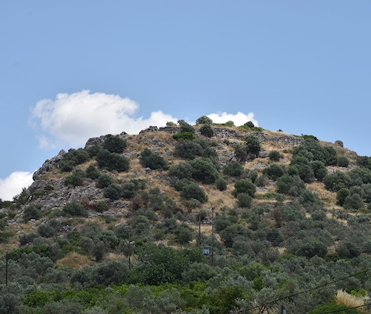
The acropolis of Kazarma is on a hill near to the village of Arkadiko. The castle's location is important because it was the main passage from the Argolic plane towards the Epidaurus area.
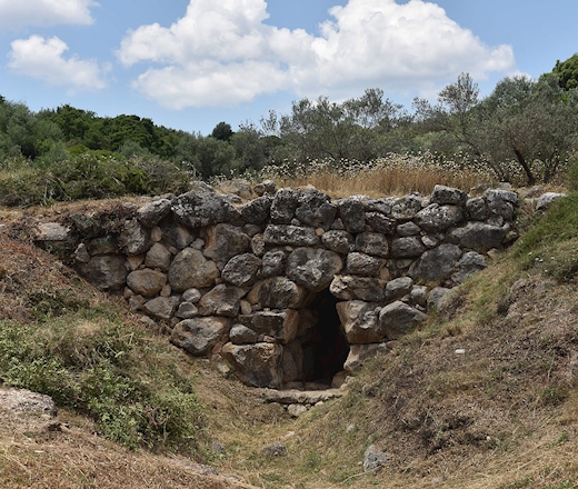
The Mycenaean bridge of Kazarma, located in Argolis along the Nafplio–Epidaurus road, is a significant example of Mycenaean engineering dating to approximately 1300 BCE. Built using the cyclopean technique with large limestone blocks and no binding material, it formed part of a wider Mycenaean road network connecting major centres such as Mycenae, Tiryns, and Epidaurus. The structure remains partially functional today, demonstrating the durability and advanced construction methods of Mycenaean civilization.
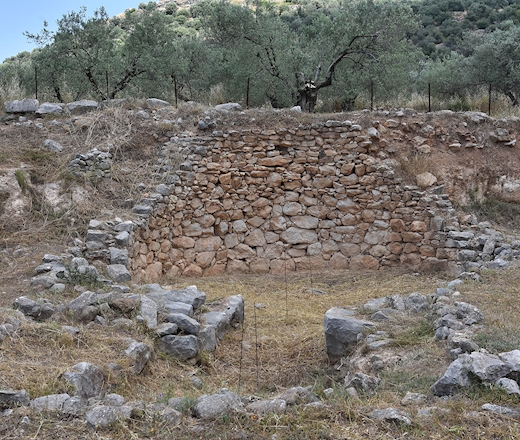
The domed tomb at Kazarma is located on the south slope of the hill of the same name, in the inland area to the east of the Argolid Plain. The strategic position of the tomb near to the Mycenaean road which led to the east coast of Argolis, its monumental construction, and the wealth demonstrated by the exotic nature of the grave goods would suggest that it belonged to a regional hegemony of the 15th century BC.
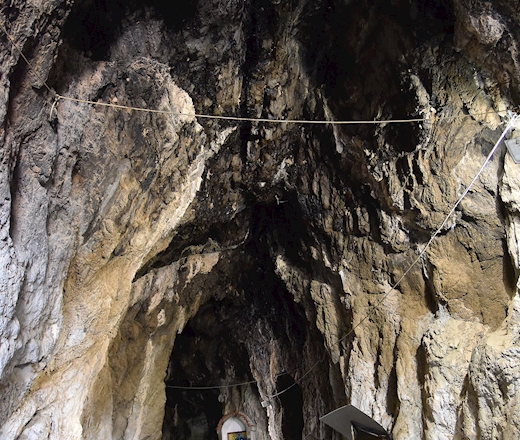
The two caves in Argolis, near the southern edge of the Argive plain, represent an important archaeological site with evidence of continuous human activity from the Late Palaeolithic to historical periods. Excavations have revealed significant Neolithic pottery alongside lithic tools from earlier prehistoric phases, with the majority of finds dating to the Middle Neolithic. Additional material indicates limited use during the Early and Middle Helladic, as well as the Geometric and Classical periods. The caves were also known in antiquity as cult places dedicated to Dionysus and Pan, while in modern times one of them was transformed into a Christian chapel.