Monuments & Museums
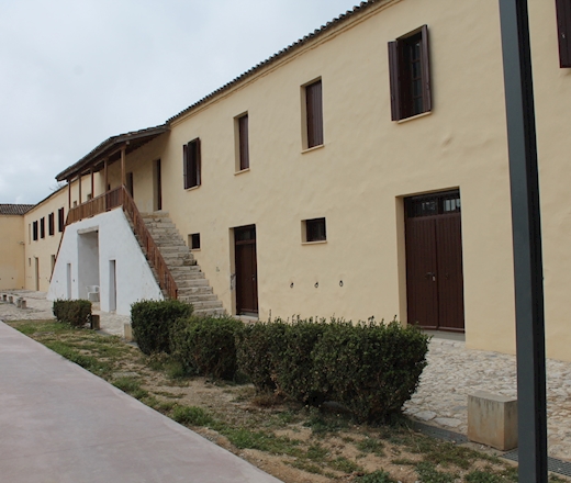
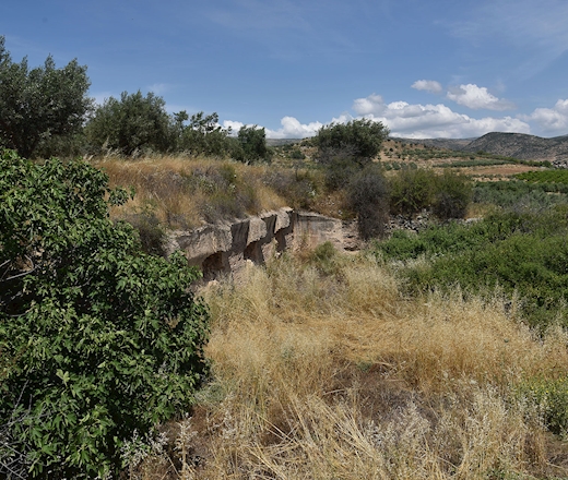
The Roman cistern of Prosymni (formerly known as Berbati) is an impressive hydraulic structure dating to the Roman period, located in the fertile plain of Argolis. It was constructed to meet the increasing agricultural and domestic water demands of the area, ensuring water availability even during periods of prolonged drought.
The monument consists of the remains of a large underground reservoir built using typical Roman construction techniques, including masonry and waterproof mortar designed to prevent water leakage. The Berbati valley experienced significant agricultural and industrial activity during the Late Roman period, suggesting that the cistern formed part of a broader organized rural infrastructure. It is located near Prosymni, in close proximity to other Roman remains in the region, such as the local baths, and is associated with the wider archaeological landscape of Argolis.
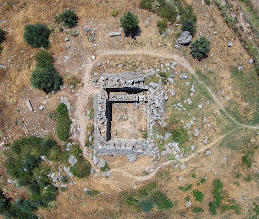
The so-called Pyramid of Hellinikon, located in the Argos region on the ancient road connecting Argos and Tegea, is a monument of uncertain date and function. Traditionally attributed to the 4th century BCE, it has been variously interpreted as a tomb, fortress, or beacon tower. The ancient author Pausanias describes a pyramidal structure in the area, possibly referring to this monument or a nearby similar one, which he associated with a mass burial of warriors and early military conflict involving the use of shields.
Modern scholarly debate regarding its chronology remains unresolved. While some studies support a Classical or Late Classical construction based on architectural analysis, alternative scientific dating methods have proposed a much earlier origin in the late 3rd millennium BCE, a view that has been contested by other researchers. Overall, the Pyramid of Hellinikon remains a disputed monument in terms of both dating and interpretation, reflecting ongoing disagreement within archaeological scholarship.
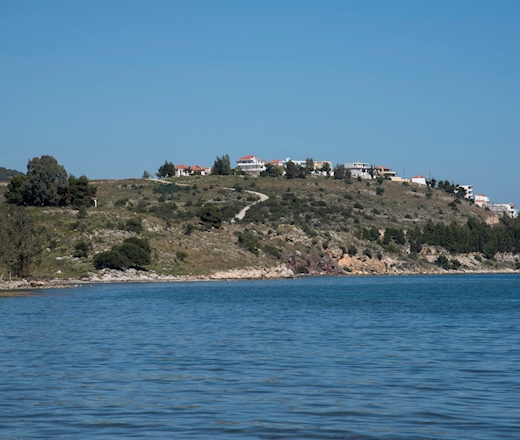
Magoula Hill, located near the modern town of Ermioni in Argolis, is one of the most important prehistoric archaeological sites in the region. Archaeological evidence indicates that the site was inhabited from the Early Bronze Age through the Mycenaean period, making it one of the earliest settlement centers of ancient Ermioni.
Excavations have revealed significant remains, including residential structures, storage facilities, and large quantities of pottery, demonstrating the site's long-term occupation and cultural importance. Its elevated position provided strategic control over the surrounding landscape and nearby maritime routes.
Magoula Hill is considered the prehistoric nucleus of ancient Ermioni and plays a key role in understanding the development of human settlement in the southeastern Argolid. Today, it remains an important archaeological landmark and a valuable source of information about the region’s prehistoric past.
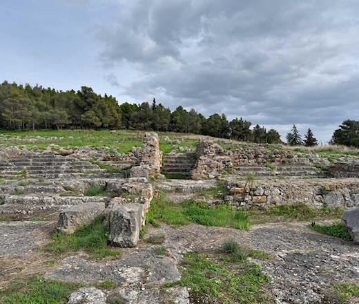
On the western slope of the hill, sanctuaries dedicated to Apollo Deiradiotes (or Pythios) and Athena Oxyderkes were established during the historical period on four successive terraces. The earliest use of the site dates back to the 8th century BCE, while its major architectural development took place during the Archaic, Classical, and Hellenistic periods (6th–3rd century BCE).
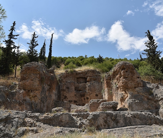
North of the ancient theatre of Argos lies an impressive terrace carved into the rock of Larisa Hill. The monument is bordered on the city side by a strong polygonal retaining wall with a central staircase. Inscribed reliefs decorating the wall depict the Epitelides, chthonic deities associated with justice and the punishment of crimes. Due to their connection with the cult of the Semnai Theoi at the Athenian Areopagus, scholars have identified this area as the Kritirion, a place connected with judicial functions and the administration of justice in ancient Argos.
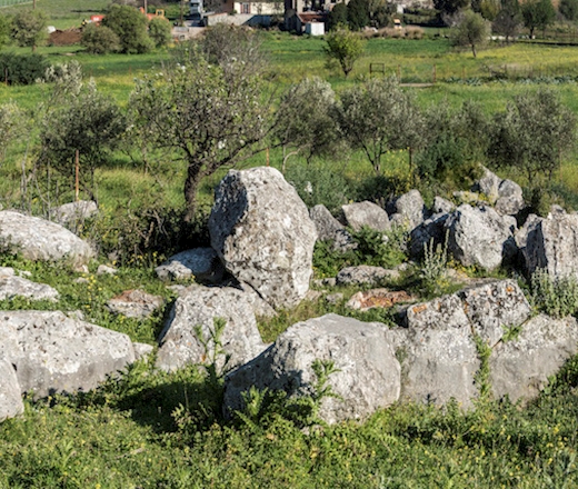
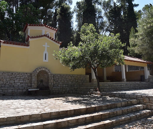
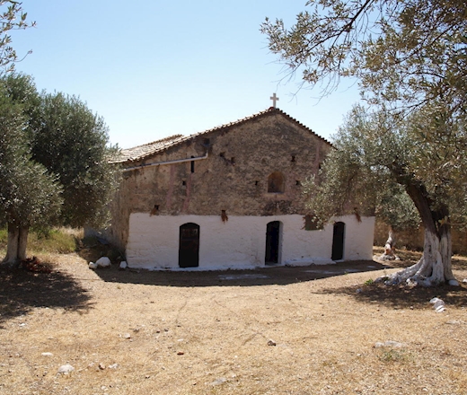
The Byzantine church of the Dormition of the Virgin in Prosymni (Argolis) is a significant Middle Byzantine monument dated to the 12th century AD. It belongs to the complex cross-in-square type with a dome supported by four columns and is characterized by carefully executed cloisonné masonry and rich ceramic decoration on its exterior façades.
Despite later alterations, the monument preserves important architectural features that reflect the development of Byzantine ecclesiastical architecture in the region. It constitutes a representative example of the religious and artistic flourishing of Argolis during the Middle Byzantine period.
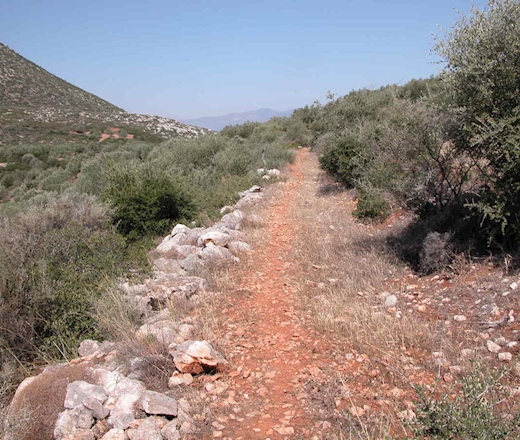
The Mycenaean road of Prosymna, located in Argolis, Greece, is a well-preserved segment of the Mycenaean transportation network dating to the 14th–13th centuries BCE. It connected the citadel of Mycenae with the Prosymna basin and surrounding inland areas, facilitating administrative, military, and economic communication within the region. Constructed with large stone slabs and retaining walls, the road exemplifies the engineering capabilities and infrastructural organization of Mycenaean civilization. Archaeological evidence from the nearby area of Prosymna, including cemeteries and settlement remains, further highlights its role within a broader regional network linking key Mycenaean sites.
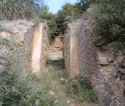
The Tholos Tomb of Prosymna, located in the Argolid region of the Peloponnese, is one of the most important Mycenaean funerary monuments in northeastern Peloponnese. Dating to the Mycenaean period (15th–13th century BC), the tomb forms part of the archaeological landscape of ancient Prosymna, near the renowned Heraion of Argos.
Constructed for members of the local elite, the monument is an outstanding example of Mycenaean tholos architecture. Together with the extensive cemetery of chamber tombs discovered in the area, it provides valuable evidence for the social organization, wealth, and burial customs of the Mycenaean communities that flourished in the Argolid during the Late Bronze Age.
Today, the Tholos Tomb of Prosymna constitutes an important archaeological landmark, contributing significantly to our understanding of Mycenaean civilization and its regional centers beyond Mycenae itself.
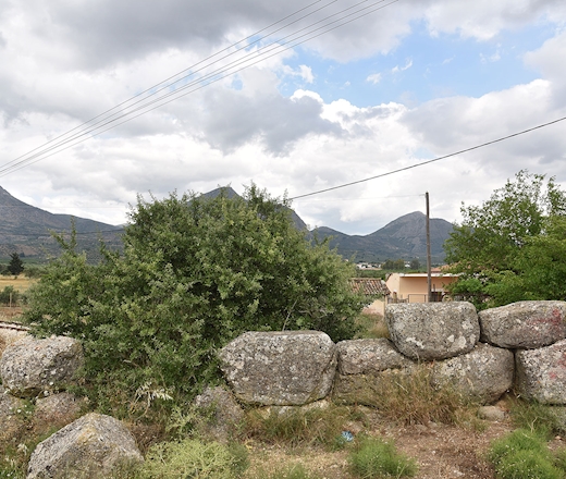
The monument is a well-preserved masonry structure of substantial dimensions, retaining much of its original height. It was first documented in 1811 by Otto Magnus von Stackelberg, who offered no interpretation regarding its date or function.
The building is oriented east–west and constructed in polygonal masonry, while its internal layout is divided into four compartments by transverse walls. The entrance on the eastern side features a monolithic lintel and an inward-opening door with provisions for a locking mechanism. A system of drain spouts indicates controlled water management, likely fed by a nearby natural source.
Despite its interpretation as a fortified tower, the absence of defensive openings and its restricted visual range render this function uncertain. Its chronology remains debated, with a proposed dating to the 4th century BC, although this attribution is not securely established.
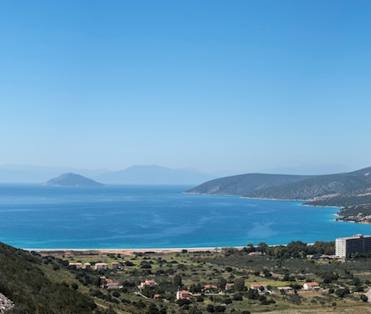
Ο βυθισμένος αρχαιολογικός χώρος στο Σαλάντι Ερμιονίδας αποτελεί έναν σημαντικό προϊστορικό παράκτιο οικισμό της Πρώιμης Εποχής του Χαλκού, ο οποίος σήμερα βρίσκεται εν μέρει κάτω από τη θάλασσα λόγω της ανόδου της στάθμης της και της παράκτιας καθίζησης. Οι υποβρύχιες έρευνες έχουν αποκαλύψει αρχιτεκτονικά κατάλοιπα, όπως λίθινες θεμελιώσεις και δομικά στοιχεία, καθώς και κεραμική και λίθινα εργαλεία που υποδηλώνουν οργανωμένη κατοίκηση.
Συνολικά, ο χώρος παρέχει σημαντικά στοιχεία για την προσαρμογή των προϊστορικών κοινοτήτων στις μεταβαλλόμενες παράκτιες συνθήκες και για τα πρότυπα εγκατάστασης στην ευρύτερη περιοχή της Αργολίδας.
<
6 of 6